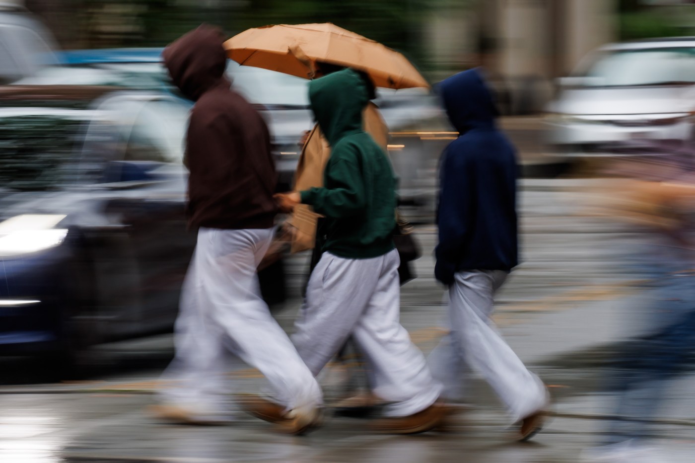
A winter-like storm that has already made the fall season a wet one for the Bay Area began to wrap up early Wednesday morning, with isolated heavy showers giving way to lighter ones, according to the National Weather Service.
That rain is likely to continue to wane as the morning progresses, and the drying out process is anticipated to continue for the rest of the week.
Related Articles
Strong storm brings heavy rain, a beached boat, possible tornado to Santa Cruz County coast
For Bay Area, another lighter blast of rain expected before the sun returns
Chart: Rainfall totals from the Bay Area’s October storm
Photos: Season’s first big rainstorm drenches the Bay Area
Flood advisories issued as storm moves through Bay Area
The rain that pelted the region came down harder than in almost any other October, but it was considerably lighter on the second day than on the first one. At 6 a.m., the 24-hour rainfall totals in the region showed .12 inches on Mt. Umunhum in the Santa Cruz Mountains; .16 inches on Mount Diablo; .04 inches in Fremont, .03 inches in downtown Oakland.
A day after receiving a 1 1/2 inches — it’s third-largest monthly daily October rain ever — San Jose recorded barely measurable rain on Tuesday, according to the weather service. The weather service said earlier Tuesday it had been the second-biggest October rain day for San Jose but that it later corrected itself.
Overall, the two-day totals showed 2.2 inches in downtown Oakland, 2 inches on Mount Diablo, 1½ inches in Fremont, 1¼ inches in Hayward, according to the weather service.
The dry-out begins Wednesday with some cooler air still present and clouds still covering the region. The hottest places inland are expected to climb into the low 60s. Those temperatures are expected to build into the 70s as the weekend arrives.
Please check back for updates.