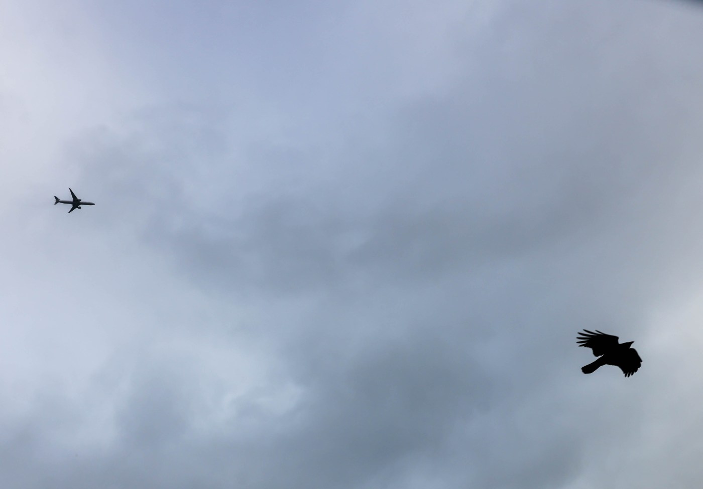
The Bay Area, still in the midst of a warm season, avoided the brunt of forecasted dry lightning and thunderstorms this week, with the main activity shifting east of the region, forecasters said Thursday.
“The system as a whole is still playing out; it’s just shifted a little further east,” National Weather Service meteorologist Dalton Behringer said. “So most of the activity that we were expected to get in the Bay Area is now going to be up in the Sierra, more in the Central Valley.”
Any lingering showers or thunderstorms Friday morning are expected to give way to a mostly sunny weekend. Still, scattered showers remain possible through Friday morning, though Behringer cautioned they will be “really hit or miss.”
Related Articles
Threat of Bay Area dry lightning lessens as hot spell begins to fade
Bay Area heat to return briefly, but dry lightning looms as threat
Bay Area’s warm rain, mugginess to be replaced by hot and dry conditions
Wildfire threats to California water resources demand attention, group warns
How much rain did we get? Here’s where the most fell
Temperatures across the Bay Area will stay mild near the coast, with San Francisco in the low 70s and Oakland and San Jose reaching the mid-70s and low 80s, according to a National Weather Service forecast. Inland cities such as Livermore and Brentwood will heat up, with highs in the upper 80s to low 90s.
Evening lows will remain in the low 60s across the region, with patchy fog possible Saturday morning before skies clear.
A slight warm-up is expected across the Bay Area on Monday, though Behringer said it will be nothing “spectacular.”
The volatile weather pattern is unusual for the Bay Area and is largely driven by the remnants of Tropical Storm Mario off Mexico’s Pacific coast, which funneled moisture north toward California.
That surge has made the region feel more humid than normal. “The tropical moisture definitely made it here, and we’re really feeling it with the humidity outside,” Behringer said.
No wildfire risk is expected in Bay Area counties heading into the weekend.
Once skies clear, the region should return to typical breezy afternoon winds, especially in the Salinas Valley, San Bruno Gap and ridgetops.
“Generally onshore flow, so no major fire concerns going forward into the weekend,” Behringer said. “But, you know, of course, missing out on this rain doesn’t really set us back any, but it didn’t really help us too much in terms of (fire) fuels.”