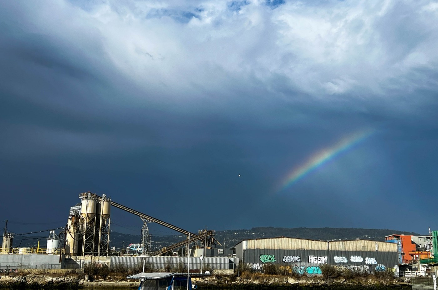
A back-and-forth Bay Area weather pendulum that has seen alternating between some sopping wet October days and some gorgeously sunny and warm ones began to swing back toward the wet stuff early Wednesday, courtesy a system moving up the Central Coast from the south.
Come the weekend, it will be a system descending from the north that may cause the rain to fall.
Related Articles
Pittsburg’s urban forest plan aims to bring shade, cleaner air
Powerful October storm winds down; clear Bay Area weather ahead
Strong storm brings heavy rain, a beached boat, possible tornado to Santa Cruz County coast
For Bay Area, another lighter blast of rain expected before the sun returns
Chart: Rainfall totals from the Bay Area’s October storm
Either way, the 80-plus-degree coat of sunshine that blanketed the region the past few days was set to be a memory, according to the National Weather Service.
“We do have rain in the forecast,” NWS meteorologist Matt Mehle said. “I think what we want people to know is that is does not like it will be a washout for the entire weekend.”
Nor was rain expected to pour Wednesday, though a system that originated in the Southern Pacific did begin to move up the coast overnight Tuesday into Wednesday.
“It’s slowly moving north but starting to fade,” Mehle said. “It might make it into Santa Clara County, perhaps north of Hollister, but it probably ends there. We expect the conditions to peter out” by noon.
The weather service said it received reports of pea-sized hail in areas of Monterey County overnight. The conditions also brought dozens of lightning strikes in areas of the Central Coast overnight if not loads of rain, Mehle said.
“Technically, it’s dry lightning,” Mehle said. “The rain gauges down there are showing less than an inch.”
The East Bay and Peninsula were expected to remain completely dry Wednesday. Their chance for rain begins Friday night and into Saturday, when a system from the north is expected to arrive. Still, that rain is not expected to be as heavy as the last storm to go through the region, nor is it expected to be accompanied by lightning, hail or heavy winds.
“Just rain,” Mehle said. “It’s coming from a weak atmospheric river, and it’s starting to shift a bit more north than we originally anticipated, toward areas like Yreka and far Northern California. But the Bay Area should feel it. Initially, we were looking at an inch or more for most of the region. Now, we see it more as being a quarter- to a half-inch. And we don’t expect to see anything fall south of the Golden Gate Bridge.”
A second wave of rain also could bring some rain Sunday.
“We’re waiting to see how it develops,” Mehle said. “But there could be an additional push.”