By Brian K. Sullivan, Bloomberg
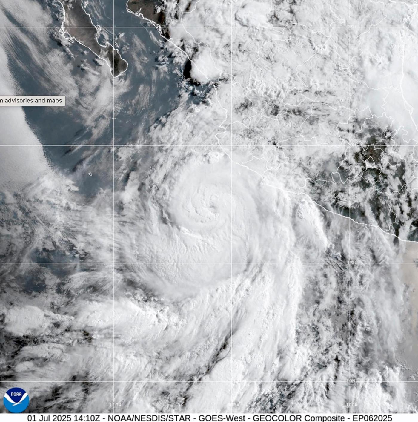
The world may be about to shift into a La Niña weather pattern, a development that would increase the risk of storms in the Atlantic as the height of hurricane season approaches there.
Related Articles
While Los Angeles burned, rules to protect homes from wildfires were on hold
How Canadian wildfire smoke is jeopardizing health across North America
Bay Area’s mild summer resumes as cool-air window opens
Wildfires, storms and blazing heat forecast for western US
Bay Area temperatures are about about to rise a little higher
Forecasters at the US Climate Prediction Center have issued a La Niña watch, meaning that the surface of the Pacific Ocean is poised to cool. The weather pattern tends to reduce sudden changes in wind speed and direction in the Atlantic, allowing more storms to take shape.
The agency said there is a 53% chance the weather-changing phenomenon will form sometime in September, October and November, the last three months of the hurricane season. A month ago, the odds were 47% for the same period.
Forecasters expect a weak La Niña could form in the Northern Hemisphere’s fall and early winter, with sea surface temperatures in a key part of the Pacific falling at least 0.5C (0.9F) below normal. In addition to its storm-boosting effects, La Niña can bring more drought to Southern California and crop-growing areas of Brazil and Argentina, as well as heavier rainfall to mining regions of Indonesia and northern Australia.
More stories like this are available on bloomberg.com
©2025 Bloomberg L.P.