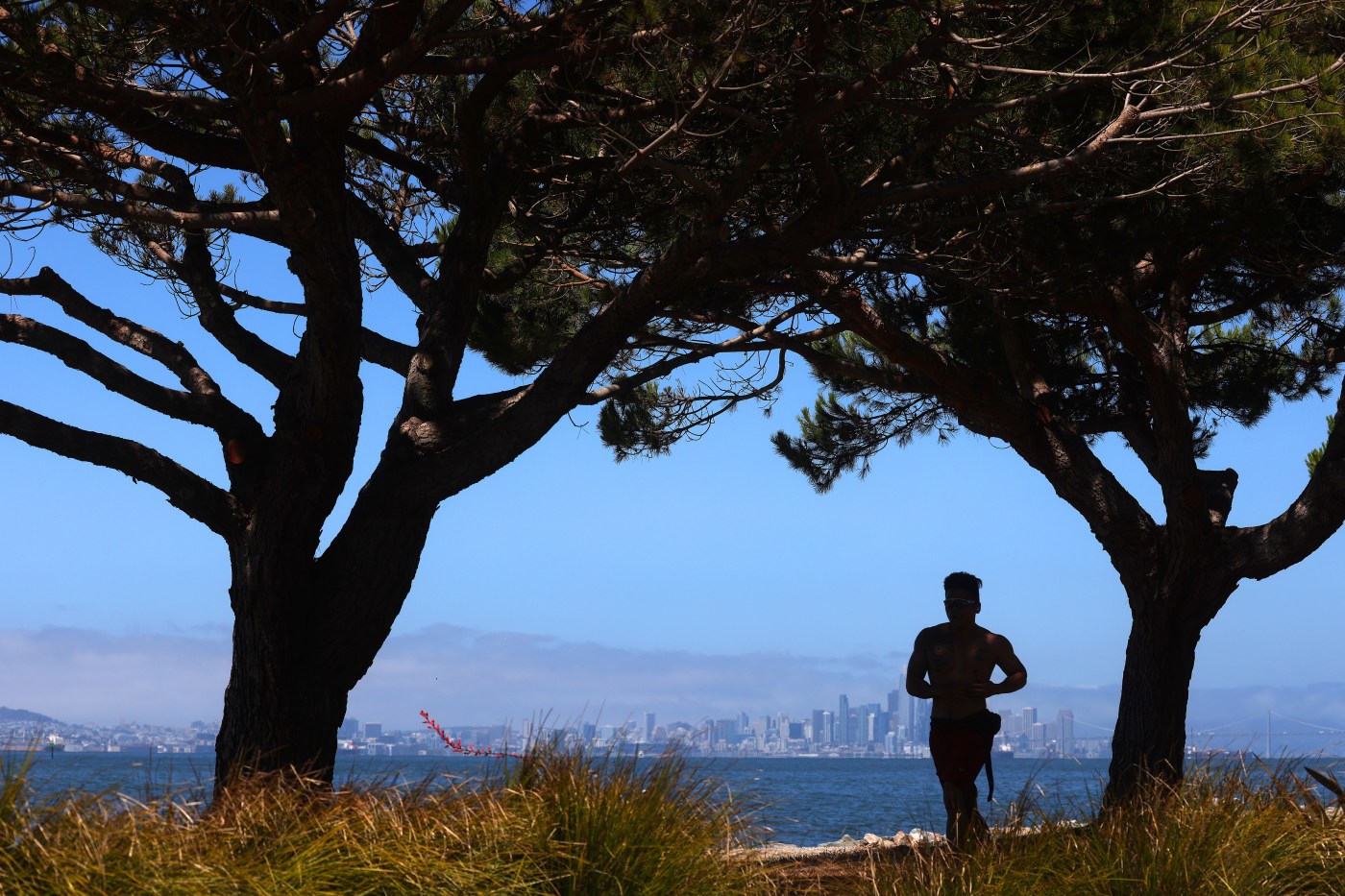
A weather pattern that has brought conditions so comfortable for most of the summer that they seem like a fairy tale took another swing toward bliss Monday when nature opened a window to let in more cool air.
“Effectively, that’s exactly it,” National Weather Service meteorologist Brian Garcia said Monday. “We’ve had this quasi-permanent area of low pressure near Alaska that has stayed there all summer, and that has kept the really thick high pressure from getting in here. It has suppressed that area of warm air, as soon as there is any shift, there’s a window that opens for cold air.”
Related Articles
Bay Area temperatures are about about to rise a little higher
Trail warning issued for Cold Canyon
Map: Fire closes Santa Cruz Mountains trail
The legendary Delta Breeze: Yes, it’s a real thing
For the Bay Area, it’s been a July to chill. Why has it happened and does it mean anything?
As a result, the heat-ups during the 2025 have been mild ones and relatively short in length.
So it has proven to be again. A heat wave that gradually built from Wednesday to Saturday and peaked with temperatures in the hottest places mostly reaching the upper 90s — Livermore in Alameda County got to 100 degrees on Friday, according the weather service — was effectively over by Monday morning, replaced by temperatures in most places that are not supposed to exceed 87 degrees.
A light cool breeze also is expected.
Those high temperatures are not expected to increase until the end of the week. Temperatures in some places may get back to 90 by Friday but only for a day, the weather service said.
“Even then, it’s not going to be a blazing warm-up,” Garcia said. “It’ll be so moderate that the porch will be the perfect place to be.”
The latest cooldown is the result of the same factor that has been responsible for the other ones. A low-pressure trough in the atmosphere has remained in the same area of the eastern Pacific Ocean. As a result, the upper-pressure ridges that have started have been stunted in their growth.
“The high pressure is there,” Garcia said. “It just hasn’t been allowed to move.”
It didn’t so much move last week, but it did receive a tap from another high pressure system that developed in the desert southwest near New Mexico, Colorado and Arizona. Those two high-pressure ridges essentially bumped each other, similar to the way two sliding windows moving left-to-right-would do the same.
That briefly kept the cool air out and kept the trapped warmer air inside.
As expected, the high pressure in the desert began to shift over the weekend, essentially opening one of those two windows. The cool Pacific air right outside the windows then came right on through.
“That low-pressure trough has pretty much stayed right where it is, and unless it decides to move, that window for the cold air is going to be open most of the time,” Canepa said.
The pattern is allowing some smoke from the Gifford Fire in Southern California drift north but that is expected to change Monday evening with a wind shift aloft forecast, according to the weather service. According to Cal Fire, that blaze in San Luis Obispo and Santa Barbara counties has burned 119,214 acres and was 33% contained Monday morning.
The agency also said there is an increased chance for sneaker waves at the ocean because of a southwesterly swell that has lasted longer than expected. Beach-goers were urged to use caution and never to turn their back on the ocean.