Related Articles
New Bay Area to-go spots are ‘transforming charcuterie into an art form’
Travel QA: Trailblazing Yosemite ranger shares her story in new memoir
Best campground in the US, according to camping app
As mosquito season peaks, officials brace for new normal of dengue cases
Want to visit the best lake in America? It’s closer than you think
The dog days of summer are coming. Cue the strained rattling of AC units, long hours of burning sun and triple digit temperatures that make a sweaty mess of us all.
The Bay Area summer can bring with it some sweltering days, with highs peaking in the 90s and beyond until September. Luckily, the unique geography of the Bay Area means finding relief is a breeze – literally. And blending science with a bit of anecdotal evidence can point the way to several spots that offer the best chance at catching a cool breeze.
The mix of chilly waters and hot inland spots leads to afternoon sea breezes that help keep the region cool. On sweltering summer days, places near the Pacific coast stay relatively fresh, aided by the consistently cool waters of the nearby Pacific Ocean – where temperatures regularly hover around the 50s near the Bay. The inland regions of California, however, don’t have that benefit, and as summer days go on, can bake in the sun.
Surfers contemplate the waves at a windy Ocean Beach in San Francisco, Calif., on Tuesday, Jan. 7, 2025. (Jane Tyska/Bay Area News Group)
“That is the big driver in why we have such vast disparities in temperature throughout the Bay Area … It’s not unusual to see a 40 degree temperature range in 40 miles,” said Jan Null, a meteorologist and adjunct professor at San Jose State University. “The farther away you are from the coast, the more it heats up.”
By the afternoon, the air is hotter and less dense, making it rise and leading to areas of low pressure over hot inland regions. This pulls in the cooler, denser air towards the hotter inland regions, generating a cooling sea breeze on most summer afternoons.
This wind does double duty in cooling us down. First, it introduces cooler air, not only replacing the hot air regionally, but also refreshing the air that heats up near our bodies as we try to cool off. As that fresh air rushes by our skin, it wicks away sweat, which cools us off further as it evaporates off of our skin.
The mountains of the Bay Area help channel these air currents to specific spots that get more consistent breeze, such as past the Golden Gate Bridge and beyond the break in the mountains near San Bruno. If winds blow through a gap, they can accelerate, said Lamonte Bain, meteorologist with the National Weather Service in the Bay Area. But he warns winds have to “be at a specific direction,” adding “gaps are tricky.”
With a backdrop of Mount Tamalpais and Seal Rock, kite surfers harness the stiff winds blowing over Ocean Beach in San Francisco, Calif., Monday, Jan. 16, 2023. (Karl Mondon/Bay Area News Group)
Making things more complicated is the fact that elevation and even buildings and tree cover can lead to differences in where the winds blow and the coolest temperatures might be. Bain argues that without a network of weather sensors “on every block,” tracking the complex microclimates of the Bay Area isn’t possible, and is often left to anecdotal evidence.
Despite the chancy nature of the weather and the well-meaning hedging of meteorologists, there are some basic guidelines for finding the best spots to enjoy a cooling breeze. For best results, stay close to the coast. National Weather Service meteorologist Dalton Behringer says that especially during heat waves, the benefits of a stiff sea breeze often die down further inland. Those more investigative types can take a look at the direction of the wind and the gaps in topography to guess some windswept locales.
If that sounds complicated, fear not: we’ve done some of that work for you. Using the guidelines of meteorologists along with interviews of park rangers, locals and wind surfers, we’ve worked to balance scientific explanations with on-the-ground knowledge and give you several suggestions for where to start looking for the coolest breeze.
South Bay and Peninsula
The beaches on the Peninsula are exposed to the cool waters of the Pacific, making them prime escapes for sweaty citizens seeking relief. The winds flowing over the Pacific coast pull up cold water from the depths to bring a conveyor of often icy ocean waters to shores near the Bay, according to John Largier, professor of coastal oceanography at UC Davis. Additionally, Behringer says that, because of the direction of the winds coming off of the ocean, any beaches north of Half Moon Bay often enjoy lower temperatures. Among these is Pacifica State Beach, which offers surf lessons, some hikes and trails, or simply a cool place to take in the views and enjoy the wind tousling your hair and ruffling the pages of your latest beach read. For less refined pleasures, the nearby Taco Bell Cantina is a local favorite, where your Crunchwrap Supreme can come with a boozy frozen drink. Parking for the beach costs $7 for fewer than four hours or and $9 for a day.
Students learn to windsurf during a windsurfing and sailing summer camp at Shoreline Lake in Mountain View. (Dai Sugano/Bay Area News Group) Dai Sugano/Bay Area News Group
Elsewhere on the Peninsula, a break in the Santa Cruz Mountains forms the San Bruno Gap, which reaches from the Pacific Coast southeast towards the South Bay. Since winds off the Pacific often blow southeast and the adjacent mountains block the wind, “the air is forced to squeeze through a smaller space, similar to a wind tunnel,” said Behringer. Interestingly enough, that’s also why it’s home to San Francisco International Airport, since planes can take advantage of the wind to help them take off. For those interested in staying closer to home, however, looking down the San Bruno Gap can offer somewhere to escape the heat.
Brown pelicans feed near in San Francisco Bay off the coast of Burlingame on Thursday, Nov. 4, 2021, as a United Airline jet taxis at San Francisco International Airport. (Karl Mondon/Bay Area News Group)
Located just southeast of SFO, Coyote Point Recreation Area stands on a small peninsula that elbows its way into the Bay. Winds funneling south out of the San Bruno Gap make this a favorite spot for windsurfers, but those families with a less extreme taste can find a lot to enjoy. The park hosts a CuriOdyssey, a museum and zoo that houses more than 70 animals and a science playground. Those who don’t want to shell out an extra $24-$28 a pop for tickets can enjoy a large, dragon-themed playground for the kids, a beach promenade or plenty of space for barbeque and picnics. The cost for entry is $6 per vehicle.
East Bay
The largest gap in the Bay Area is along the Golden Gate Bridge, between the top of the Peninsula and the North Bay. Since it’s the only gap at sea level, it sees some of “the strongest flow” of air, said Null, and can funnel wind eastward toward the East Bay and even further inland toward Sacramento, creating what is known as the Delta Breeze. Those in the East Bay can take advantage of the path of the breeze to find cool spots along the way.
The Oakland city skyline can be seen in the background, as a windsurfer and wing surfer take advantage of the high winds near the Berkeley Marina in Berkeley, Calif., on Thursday, March 14, 2024. A high wind advisory was issued on Wednesday and extended until Friday. (Jose Carlos Fajardo/Bay Area News Group)
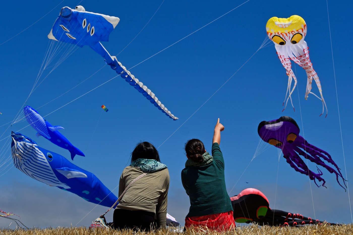
To start off, Behringer notes that Berkeley often benefits most from these winds, saying “pretty much the air conditioning is turned on because the winds and moisture are directed at Berkeley.” That makes it no surprise then, that the Berkeley Marina was the longtime host of the erstwhile Berkeley Kite Festival, which once drew tens of thousands to fly their kites on summer breezes. Even now though, East Bay residents can enjoy kite flying, sailing lessons, kayaking and picnicking along the Marina.
Further north, Miller/Knox Regional Shoreline grants panoramic views of the San Francisco skyline and the shores of the North Bay for those wishing to escape the heat and the city. “You kind of feel like you’re getting in a new oasis,” said Dave Mason, spokesperson for East Bay Regional Park District. Along with the views, the park offers a small swim beach, 307 acres of land that stretches into hills for hikers and a pier for fishing.
Amir Saulett, 13, enjoys the beach with his sister, Patosh, 9, not picture, and their mother, Venus Saulett, left, who are on vacation from Indiana but are originally from Mongolia, at Robert Memorial State Beach in Alameda on Wednesday, July 9, 2025. (Ray Chavez/Bay Area News Group)
To the south, Alameda Crown Beach offers a 2.5 mile stretch of shore enjoyed by swimmers and frequented by kite surfers. Even so, it’s especially popular on hot days, so Mason recommends going early to find parking and a spot on the shore. Parking is $5 per vehicle.
For hikers and history buffs willing to take the trek to the middle of the Bay, Angel Island State Park lays out a mecca of windy trails. Because of its position in the Bay, most of the island is actually windward, with only the north east end being truly leeward, says Angel Island Park interpreter Casey Dexter-Lee, while watching palms sway gently in the breeze. The island offers 13 miles of trails and roads for hiking, biking trails, which can link to form loops around the island that offer moderate, hilly hikes with scenic views of the bay. If you left your hiking boots at home, the island also hosts a plethora of historic sites, including an immigration museum, and has options for bike rentals, ebike rentals and tram tours. Admission to the park is included in ferry tickets ($15.50 one way, or $9.50 with a Clipper Card, from Pier One and $18 round trip from Tiburon), though the immigration station costs another $5 for adult admission.