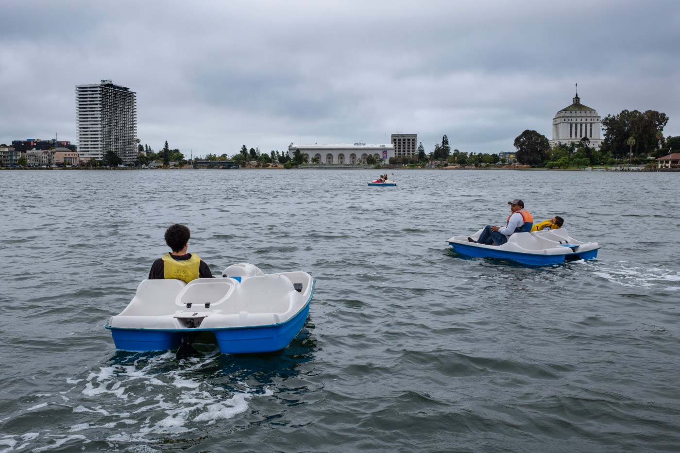
A cold breeze that blew about 15 mph hit the Bay Area coastline Monday, then carried through the hills into the East Bay and on down to the South Bay. Heavy clouds covered much of the region in gray. Morning drizzle that bordered on rain accompanied the coastal fog as it swept through at sunrise.
It all seemed like weather better suited for early spring, or perhaps the later part of November. But July?
“Yeah, and it’s pretty much going to stay like this,” National Weather Service meteorologist Dalton Behringer said, before joking: “We’ll see the sun in August.”
That would be a switch. Save for a handful of brief two- and three-day heat-ups, this summer in the Bay Area has been mild and marked more by cool, cloudy weather than the very-warm-and-clear forecast so many have gotten used to in recent years.
“I’m not complaining,” Ray Miller, 18, said as he pumped gas at a Bay Point gas station. “We could be almost anywhere else, and it’d be like last year.”
Indeed, as a gigantic heat dome prepares to leave most of the United States sizzling this week, the Bay Area will be ushering in weather that may bring out hoodies and long pants, not shorts and t-shirts. The highest temperature expected in the region is 82 degrees in Brentwood.
“I feel it’s just been like perfect, perfect weather — not too hot, not too cold,” Carla Arroyo, 46, of Gilroy said while at the Municipal Rose Garden in San Jose. “When it’s too hot, we don’t do the outdoor stuff.”
The moderate weather has been “caused by global circulation,” weather expert Jan Null said, adding that the high-pressure ridges that take hot air north and the lower-pressure troughs that move cold air south have become positioned at different latitude and longitude points on the globe and are now “in balance.” Null said that balance can create a long-standing weather pattern, such as the one that has kept mild Bay Area weather mostly in place since Memorial Day.
This year’s pattern stands in stark contrast to last year; the Bay Area sizzled in July 2024, starting from the very outset of the month and not letting up until the end.
Last July, Brentwood reached at least 100 degrees 14 times, according AccuWeather, while Concord got there 11 times and Walnut Creek five. Each of those five cities had at least three days that reached 105.
In Alameda County, Livermore and Pleasanton — generally considered the hottest spots in that county — exceeded 100 degrees 12 and and six times, respectively. Morgan Hill, one of the hottest places in Santa Clara County, reached triple-digits seven times last July, and San Jose got there twice.
This year, all of those cities have combined to get to 100 degrees two times — Concord once and Livermore once.
“I certainly love the temperate weather,” Lisa Shedd, 60, of Walnut Creek, said. “I’m not a fan of the really hot. I don’t know if it means something bad or it it means something good, so I don’t really know what it means. But I know I’m enjoying it.”
It may not be a signifier of longer-term trends, Null said. The five-decades-long Bay Area meteorologist and founder of Golden Gate Weather Services said it’s merely nature at its usual.
“If we were to average last year’s high temperatures with what we end up having this year,” Null said, “It will probably be close to what an average July temperature is.”
Still, last July was part of a year that was the hottest globally since weather records began in 1850, according to the National Oceanic and Atmospheric Administration, the parent agency of the NWS.
So perhaps more telling is why the temperature has trended down since Memorial Day — the traditional unofficial start of summer. That has to do with the location of the high-pressure domes and low-pressure troughs with relation to longitude and latitude on the Earth’s globe, according to weather experts.
“Normally, the ridge sets up closer to our coast and so everything flows in a way that the high-pressure dome is usually right over us,” Behringer said. “Once that dome expands, the marine layer compresses, we stop getting breezes, any wind blows the other direction and it gets very hot. We know the drill. This year, that ridge is set up more toward the Aleutian Islands,” an island chain off Alaska.
Thus, the marine layer has stayed thick, the natural coolness of breezes coming in from cold places on the Pacific Ocean has kept the region from baking, he said.
Now, how long will things stay in balance and the weather stay this way? That’s still any forecaster’s guess.
“Things get out of equilibrium, and things start moving,” Null said. “It can be a butterfly in Japan.”
Staff writer Caelyn Pender contributed to this story.