Los Gatos and Saratoga approved updated fire hazard severity zone maps last month, but some Saratoga hills residents expressed concern over relaxed designations in their neighborhoods.
The Fire Hazard Severity Zones are determined by the state fire marshal based on an area’s physical characteristics like slope, vegetation, winds and weather. Los Gatos and Saratoga, along with Los Altos Hills, are some of the most ember-vulnerable communities in the South Bay, according to previous reporting by this news organization.
Related Articles
6 months later, 12 ways the Eaton and Palisades fires changed Southern California
6 months later: What we know so far about Palisades, Eaton fires and status of the recovery
Remains of 7 bodies recovered from Northern California fireworks blast site
Bay Area fires burn Oakland warehouse, homes over holiday weekend
Uncertainty of future FEMA disaster funding alarms Bay Area emergency planners
The California Department of Forestry and Fire is in charge of classifying the severity of fire hazard in areas in California. The need for the maps rose from major destructive fires like the Panorama Fire in San Bernardino County in 1980 and the Oakland Hills fire in 1991.
The maps for Los Gatos and Saratoga were first adopted in 2009. Large swaths of red took up most of the bottom half of Los Gatos on its old map, but the areas marked as having very high fire hazard severity have been reduced on the new map. These areas include the hills west of Highway 17 around El Sereno Open Space Preserve and north of Lexington Reservoir County Park, including the Aldercroft Heights neighborhood. The residential areas south of Los Gatos Town Hall and the neighborhoods around Surrey Farms have been deemed high fire hazard zones. Parcels south of Los Gatos-Saratoga Road and east of Worcester Park are marked as moderate fire hazard areas.The Los Gatos Town Council approved the new map at its June 3 meeting.
Saratoga’s 2009 map provided by Cal Fire marked essentially all of the hills west and south of Highway 9 and as very high fire hazard zones. This year, many of these areas were reclassified as moderate or high hazard, with the very high fire hazard zones being kept to mostly south of Highway 9 and in two portions of the western hills.
Santa Clara County Assistant Fire Marshal Brad Fox attributed these changes to improvements in modeling and science. The 2009 maps were based on statewide weather data, but current weather data has become more specific, allowing for more accurate maps.
Cal Fire said their models evaluate the probability of the area burning and potential fire behavior in the area by considering fire history, vegetation, flame length, blowing embers, proximity to wildland, terrain and weather. In the past, they used stock weather inputs across the state to figure out wildland fire intensity scores. With climate data from 2003 to 2018, fire intensity scores are adjusted based on the most extreme fire weather at a given location while also considering temperature, humidity and wind speed.
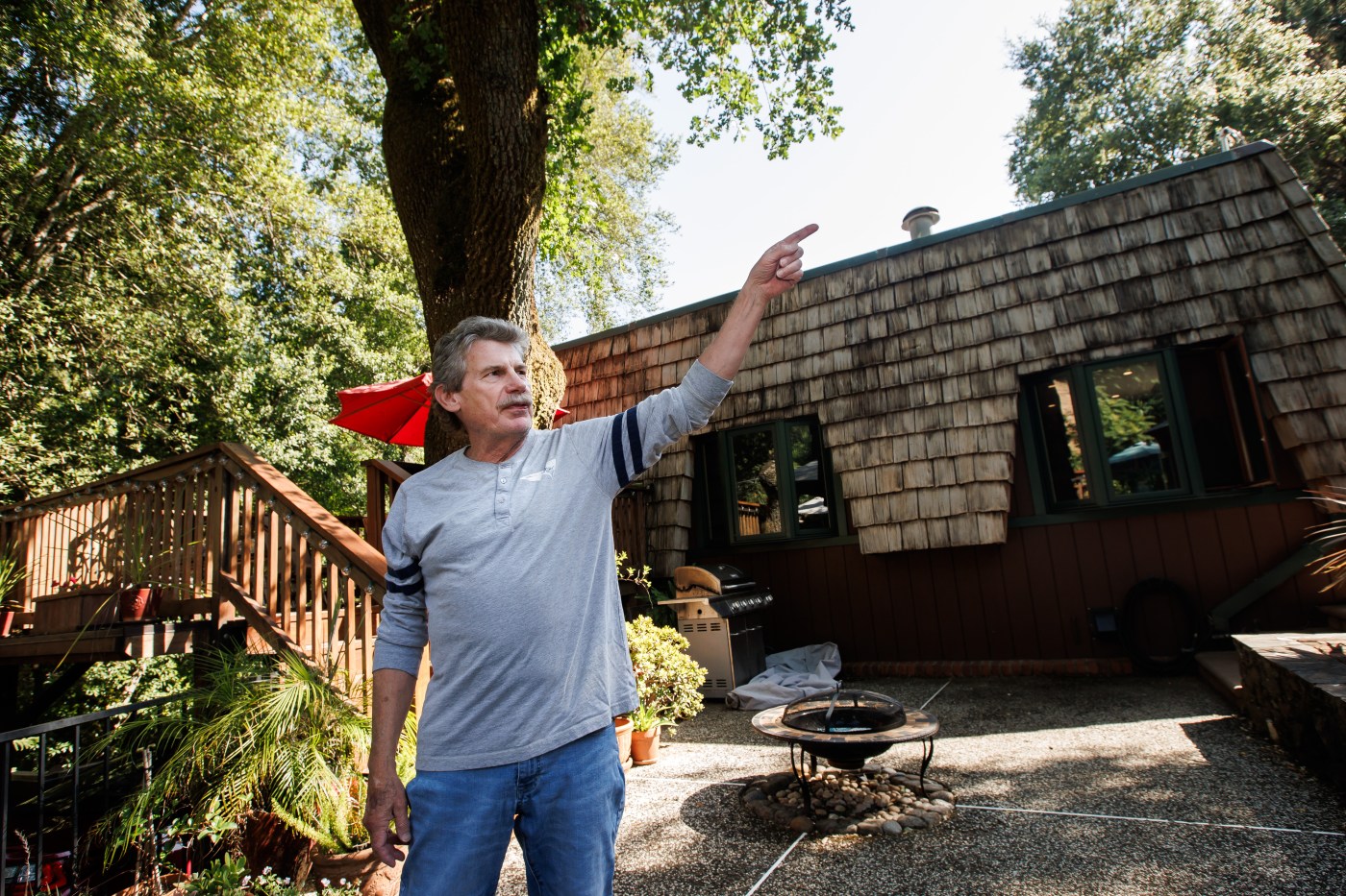
Some Saratoga residents, who mostly live near Pierce Road, were concerned about the downgraded fire hazard severity in the area. Much of the southern half of Pierce Road was changed from very high to a moderate or high fire zone on the new map.
Veena Subrahmanyan, who spoke at Saratoga’s June 4 council meeting, said she lives up in the hills and did not know why the fire severity zone designations were lowered in certain areas but not in others. She said Pierce Road has only one lane going in each direction and can easily become clogged in case of an evacuation.
Rachana Jain, another hillside resident, asked that the fire hazard severity designation not be lowered. She and other residents attested that the area was a high fire hazard zone and that hillside residents needed more support.
Ernest Kraule, a commissioner with the independent Saratoga Fire District, made a map that suggested upgrading an area around Reed Lane near the Argonaut Shopping Center on Saratoga-Sunnyvale Road, which is in a zone currently labeled as a moderate fire hazard.
Although both councils passed the maps as recommended by their staff and Cal Fire, the Saratoga City Council requested staff to figure out how they could add areas to the city’s map.
According to Cal Fire, a local agency cannot decrease the level of a fire hazard severity zone, but can to increase a level if they have scientific evidence to justify it.
Fire hazard differs from fire risk in that the former doesn’t consider mitigation measures in its calculations while the latter does. Fire risk is defined as the potential damage a fire can do to an area in its existing condition, which can lead to municipalities requiring fuel reduction projects, defensible space and ignition resistant building construction.
The Town of Los Gatos told residents in the Wildland Urban Interface to maintain 100 feet of defensible space by clearing vegetation and reducing wildfire risks, removing debris from roofs and gutters, trimming tree limbs at least 10 feet away from structures and other trees and storing firewood and other combustibles at least 30 feet away from their homes.
They also advised residents to avoid using yard equipment during hot, dry or windy conditions because they can spark fires. And if vegetation must be cleared, residents should work early in the morning and have a water source or extinguisher nearby.