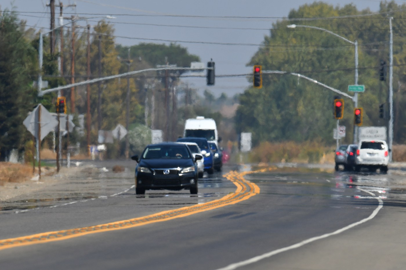
Extreme heat is about to make a return to the Bay Area in time to bid May adieu, but it won’t be hanging out for too long, according to the National Weather Service.
“This one,” NWS meteorologist Nicole Sarment said early Wednesday of an approaching heat wave, “is coming with some complexity.”
Related Articles
For Bay Area, Memorial Day weekend weather won’t bring summer heat
Record pace of snowmelt in US West threatens another drought
It’s officially rattlesnake season in the Bay Area
Report: When a neighborhood floods, foreclosures often follow
Who is watching for earthquakes, volcanoes and tsunamis? Trump is cutting the guardians at the gate
First, the simple part: Temperatures will begin to rise starting Thursday and will peak Friday as they top 100 degrees in far eastern Contra Costa County and threaten that figure in places such as Concord, Walnut Creek, Livermore, Pleasanton, and Morgan Hill. In San Jose, the dial will top 90 degrees; along the Peninsula some spots may see the 80s; in Oakland and Richmond, it will reach the high 70s.
Yet just as quickly as it rises, the thermometer will head down. By Saturday, temperatures may fall 6-8 degrees in some areas and on Sunday, the hottest spots in the region won’t get past 85 degrees, according to the weather service. By the middle of next week, the hottest spots are forecast to be in the 70s.
Not exactly the prototypical sunny-and-hot-for-days heat wave. Then again, few things about the recent pattern have been the usual.
“What we’ve had for a while now is a series of short-wave [high-pressure] ridges with short upper-wave [low-pressure] troughs, and that’s created a temperature roller-coaster,” Sarment said. “Now, the long-range pattern is starting to evolve into what we call a ‘dirty ridge,’ because there’s a low-pressure trough off the California-Mexico border near Baja that’s affecting how it evolves.”
Sarment also said that the so called dirty ridge will be oriented over 75% of the state. That could mean record-breaking temperatures across the far northern part of the state and temperatures of 105 degrees in the Central Valley, according to weather service. The Central Coast also is expected to bake, Sarment said.
Fire conditions in the Bay Area also are expected to increase beginning Thursday and through Saturday. Winds are not expected to be a problem, though Sarment said that areas of the region, particularly the Central Coast, “will have a wind period.”
“It going to get extremely dry,” she said.
By Sunday, it will be over, and the forecast does not indicate that any other heat waves are arriving immediately after this one.
“By the time we get to Sunday, it will definitely be a welcome relief,” Sarment said. “It should last a while.”